Death Valley Days
Death Valley Days
Television anthology that ran for 18 seasons between 1952 and 1970. Originally a radio show that was broadcast from 1930 to 1945
After we had spent several days in Bishop, we were only about three hours from Death Valley, so we decided to camp there for a few days. Unfortunately, we did not realize that this overlapped with President’s Day weekend, so the Death Valley Campgrounds were more than a little crowded. Death Valley is the hottest place on earth and the driest U.S. National Park with the hottest temperature recorded at 134o F (57oC) on 10 July 1913. The temperatures are relatively mild in February, so we were there during the busy season.
Death Valley is the original home to the Timbisha Shoshone Tribe and I won’t get into the history and conflict with white settlers and the Park Service, but if you are interested, you can read about it here. The Timbisha Shoshone name for Death Valley is tümpisa, meaning “rock paint.”
We wanted to explore as much of the park as possible, but the Park Service map was a bit lacking, so we went and bought a large National Geographic trails and topographic map of the park from the Furnace Creek Visitor Center. This tear-resistant and waterproof (not really necessary in Death Valley very often) map came in very handy over the time we were there.
Badwater Basin
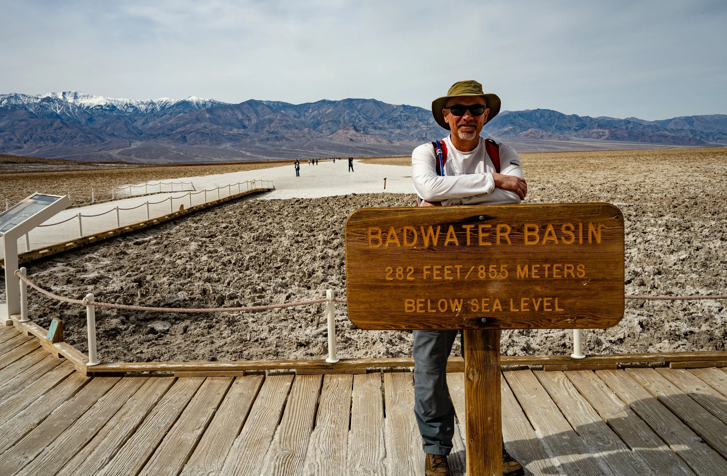
After spending the first night in what was called a campground, but was actually a large gravel parking lot, we drove out to the lowest point in North America and second lowest in the Western Hemisphere - Badwater Basin. We drove past here several years ago in my Jeep, but neither of us had ever walked out on the salt flats.
Badwater Basin is number one on the National Park Service’s Must-See Location list for the park and is one of three locations on their “do-not-miss” list. It did not disappoint. We walked out about a mile onto the flats. I attached my 24mm wide-angle lens in the car and didn't change it while we were out there to avoid getting salt inside the camera. All the photos were taken at either f/14 or f/16 and I left the camera on auto ISO (100 in most of these photos) and auto shutter. It was a fairly hazy and mostly cloudy day, and I should have had my UV Haze filter on, but I had my polarizing filter on instead. Too many things to remember. The photos were all Raw photos post-processed in Adobe Lightroom and then converted to JPEG.
It was a balmy 70oF when we were there, but our National Geographic map has a notation that states, ‘Avoid Hiking the Salt Flats in Hot Weather…when the temperature is above 100oF (38oC), do not hike onto the salt pan…summer ground temperatures can exceed 180oF (82oC).’
Panamint Range from out on the Badwater Basin salt flats. The tall peak is Telescope Peak (11,048 feet), the tallest mountain in Death Valley.
The following is a slideshow of some of the photos from the walk:
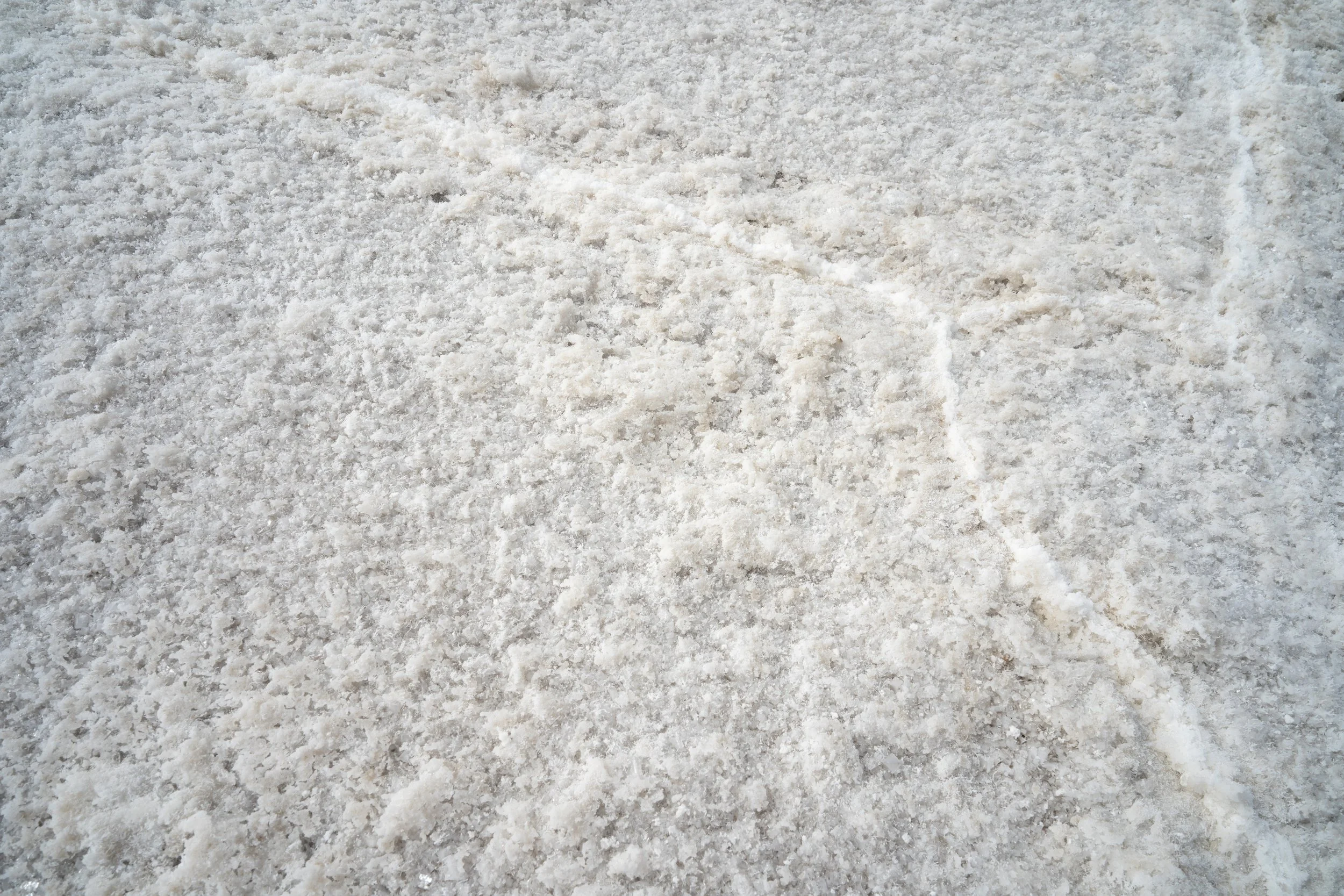
Salt flat close-up
Looking north from the salt flats
Panamint Mountains and trail out to into the salt flats
Dried up salt flats looking north
Looking south from the salt flats
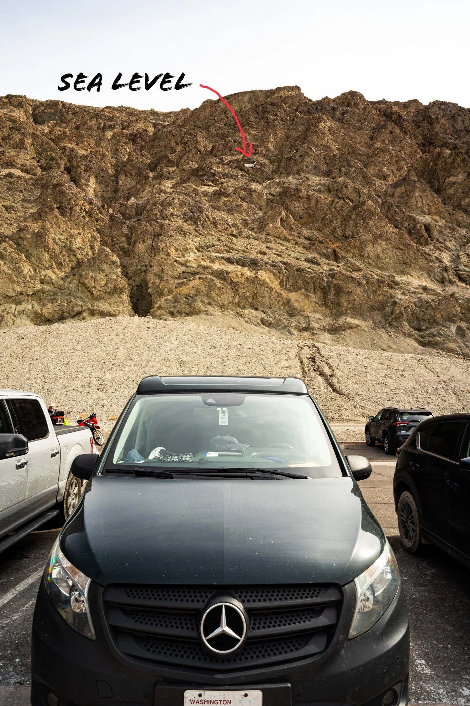
Map showing lowest land below sea level. This map is missing more recently discovered lowest point in the Western Hemisphere - Laguna del Carbón in Argentina
Don’t drink the water. It’s bad.
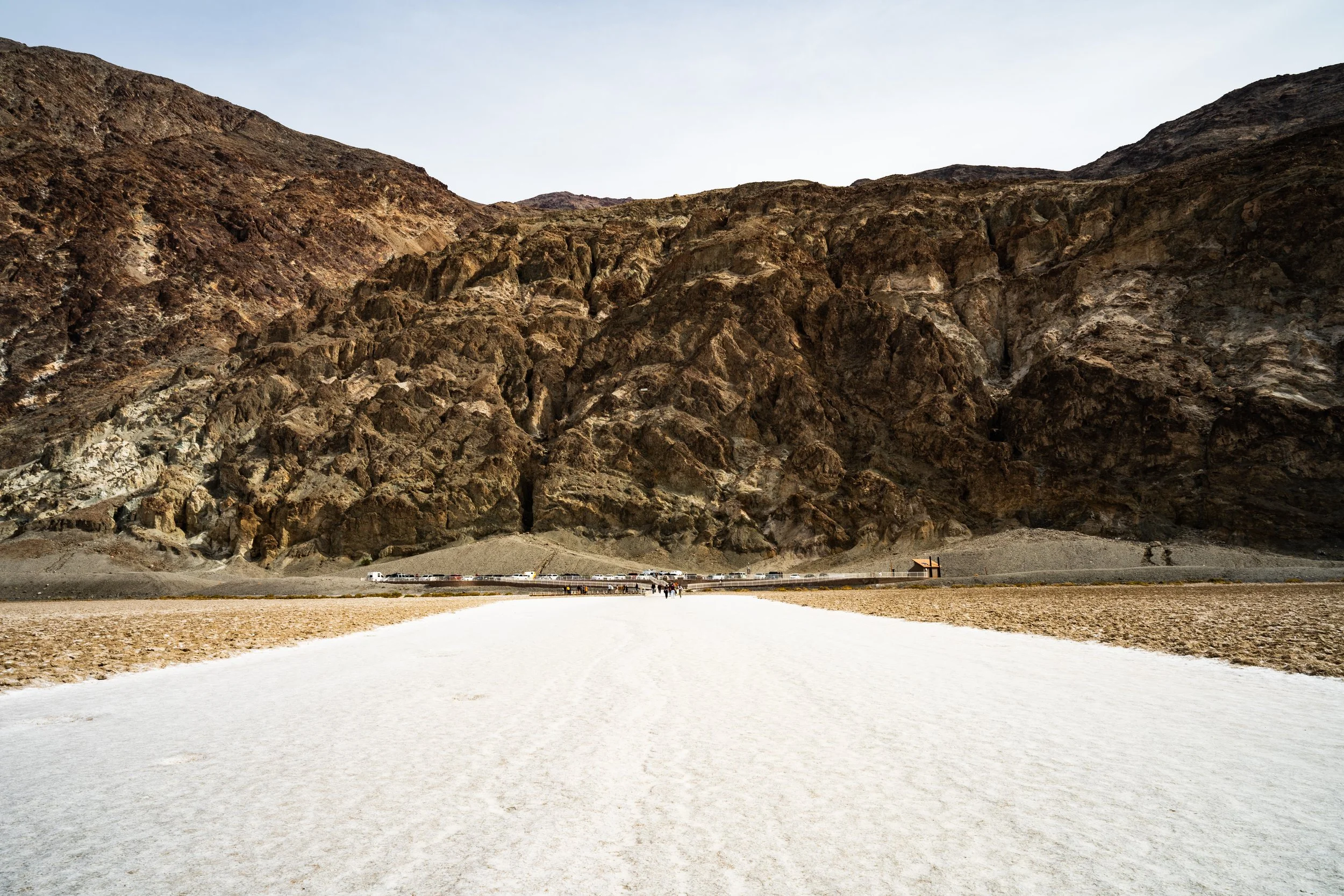
This wide pathway (looking back toward the Badwater parking lot and the Black Mountains in the Amargosa Range) has been trampled by thousands, if not hundreds of thousands of feet.
Zabriskie Point
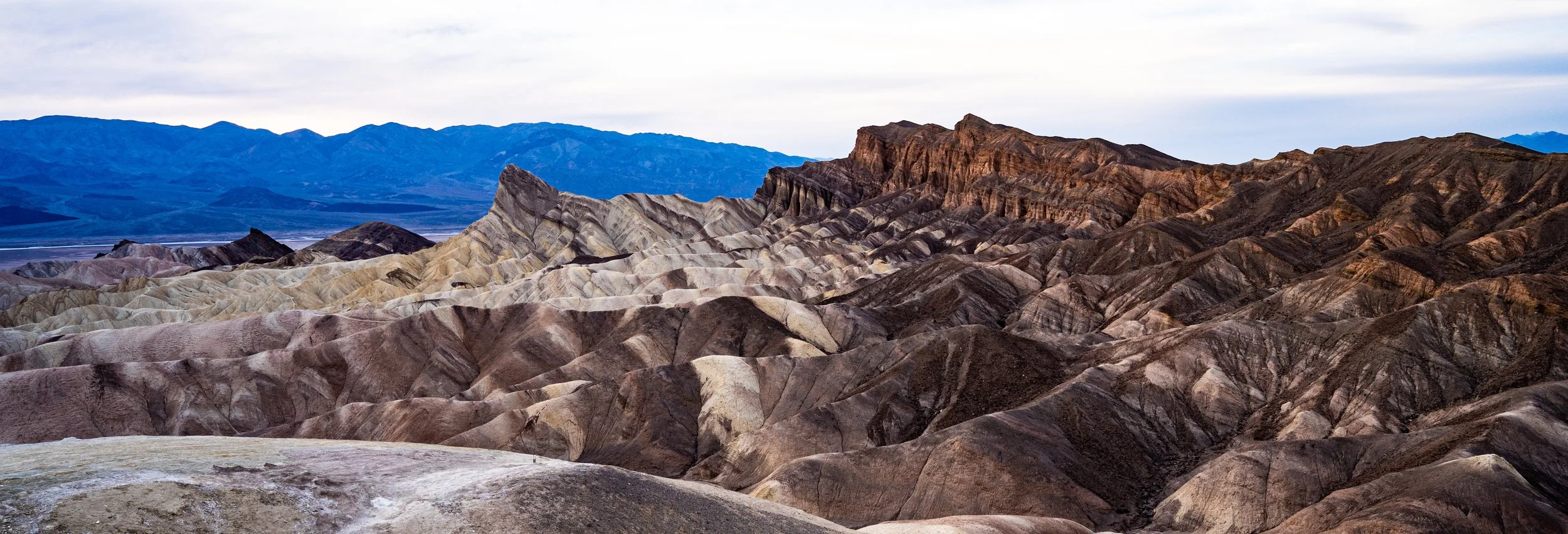
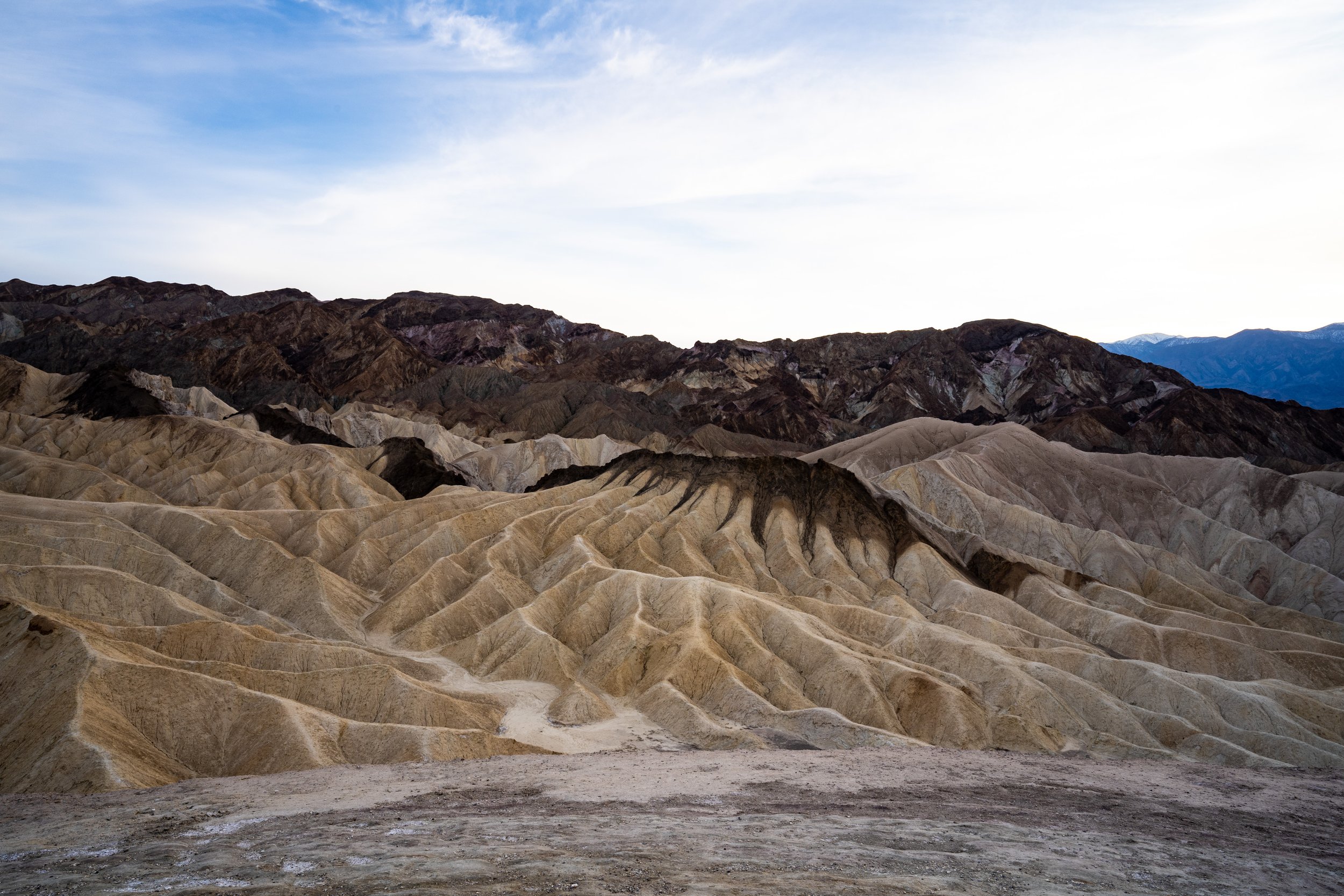
Zabriskie Point is number three on the National Park Service Must-See Locations and is also on their do-not-miss list. They suggest taking photos at sunrise and sunset, so after we secured a “campsite” in another gravel parking lot, we headed up there. The geological formations and views are spectacular, but the sunset that day was a real dud.
Zabriskie Point is a badlands formation in the Black Mountains of the Amargosa Range. It was named after Christian Zabriskie (1864-1936), a vice-president and general manager of the Pacific Coast Borax Company (I have a future borax post planned). The spire is called Manly Beacon, not because it is particularly manly, but after gold prospector William Lewis Manly (1820-1903). William Manly was a forty-niner during the California Gold Rush of 1849 who helped rescue other forty-niners who became trapped in Death Valley. Death Valley got its English name because a number of forty-niners died trying to cross the valley on the way to the California gold fields.
Below is a slideshow of some of the views:
Hallucigenia?
Badlands formation
More badlands
People waiting for the sunset to hopefully change colors. It didn’t.
I love the yellow formation with the dark brown tendrils. For some reason it reminds me of a Hallucigenia without the dorsal spines.
Dante’s View
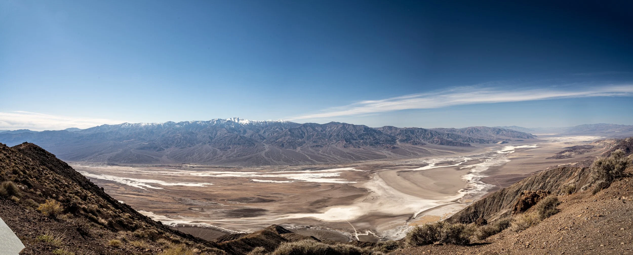
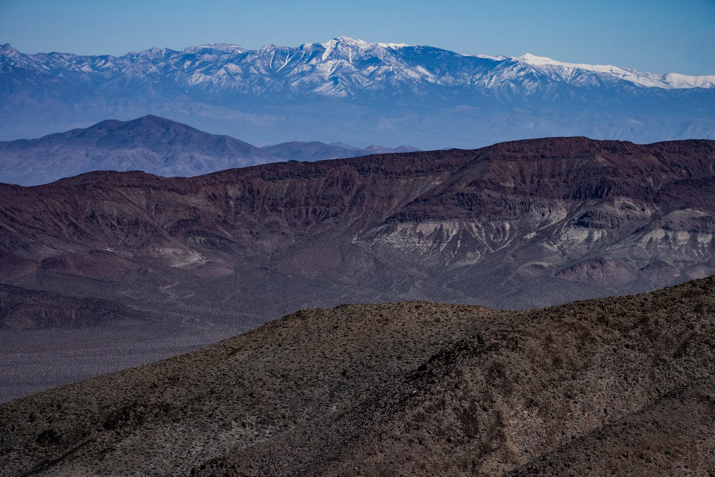
Dante’s View is number five on the Must-See Locations list. It is located on Coffin Peak along the crest of the Black Mountains and has a spectacular view of Death Valley on one side, and a similarly spectacular view of the Greenwater Range and Funeral Mountains on the other. It was named in 1926 by businessmen from the Pacific Coast Borax Company (there’s that borax again) who were trying to pick the best view of Death Valley for a tourist attraction. They named it, as you would expect, after the Italian Dante Alighieri (c 1265 - 1321) who wrote the narrative poem Divina Commedia.
Death Valley and the Panamint Range from Dante’s View
I managed to stitch together four images in Lightroom! Not perfect, but WAY better than what I was using in my post about Owens Valley
The following is a slideshow of some of the views.
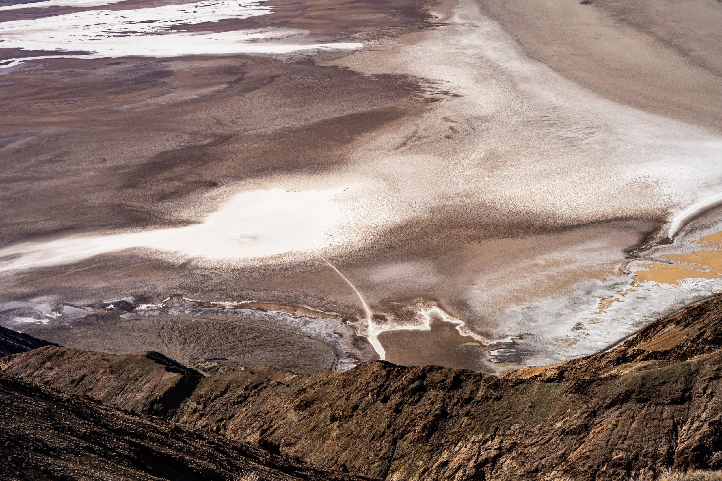
Dante’s View is almost directly above Badwater Basin. That thin white line is the path Bob and I took out to the salt flats. It is almost a mile long. Note the alluvial fan to the left of the path (ISO 250, 70mm, f/16, 1/80s)
The Black Mountains. I wonder how they got the name? (ISO 250, 77mm, f/16, 1/80s)
Southern Death Valley and the Panamint Range and Owlshead Mountains (ISO 125, 70mm, f/6, 1/80s)
Panamint Range and Owlshead Mountains. (ISO 250, 145mm, f/16, 1/160s)
Telescope Peak, Panamint Range (ISO 640, 259mm, f/16, 1/320s)
Looking out to the Northeast from Dantes View from the Black Mountains, over the Greenwater Range to the Funeral Mountains

